For expert advice  call 01832 770883

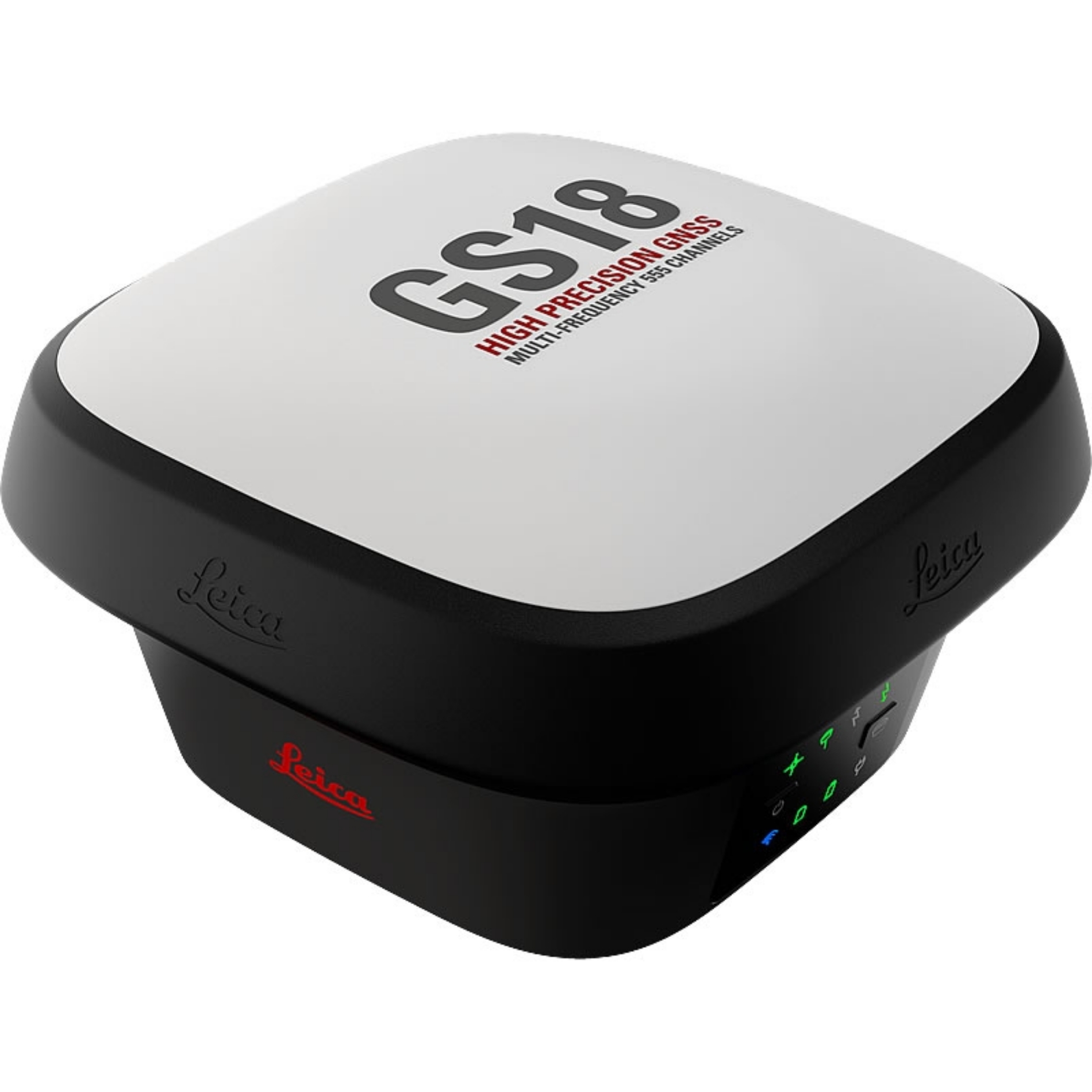 Leica GS18 I GNSS Smart Antenna Ex. VAT
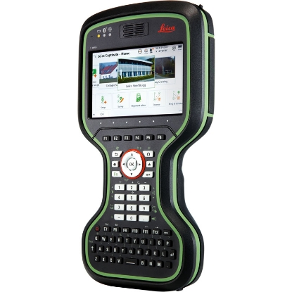
 Designed for the modern surveyor and geospatial professional, the Leica GS18 I GNSS Smart Antenna is a pinnacle of precision and reliability in positioning technology. Equipped with advanced multi-frequency GNSS tracking, it covers all major global constellations—GPS, GLONASS, Galileo, BeiDou, QZSS, and SBAS—ensuring that users can achieve unparalleled accuracy, even in the most complex environments. This enables you to navigate and measure with confidence, regardless of location or external conditions. With this state-of-the-art solution, you can elevate your surveying capabilities and reliability, making it an essential tool for any serious professional in the field.
One of the standout features of the GS18 I is its SmartLink technology, which significantly enhances RTK performance. This feature provides a robust connection for position corrections, extending the operational range and improving the reliability of your measurements. Coupled with its impressive tilt compensation, this antenna allows for accurate readings even when not perfectly vertical, streamlining your workflow and increasing productivity on-site. This versatility means you can efficiently capture data without the added hassle of ensuring your equipment is in an ideal position, making your surveying tasks quicker and smoother than ever.
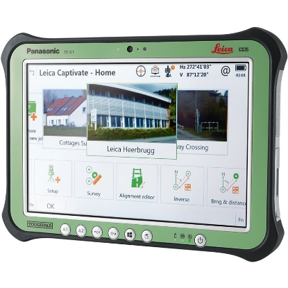
Beyond its precise measurements, the GS18 I integrates cutting-edge imaging functionality that facilitates comprehensive data capture. By combining visual documentation with survey results, you enhance the clarity and utility of your data, making it more accessible for analysis and presentation. This feature is particularly beneficial for capturing complex environments and hard-to-reach places, where traditional surveying methods might fall short. Furthermore, the device is designed to withstand the rigors of outdoor use, conforming to IP68 standards for water and dust resistance, making it an optimal choice for any surveyor who needs reliable performance in challenging conditions.
Portable and adaptable, the GS18 I has a compact and lightweight design, weighing in at just 1.25 kg, which makes it easy to transport and maneuver at various job sites. With operational times lasting up to 15 hours and flexible communication options through 4G cellular and UHF, this antenna is engineered to keep you productive throughout the demanding days of fieldwork. Its high reliability rating (99.99%) guarantees that you can depend on this tool for critical survey applications, ensuring that you always capture your data accurately and efficiently. Invest in the Leica GS18 I GNSS Smart Antenna and experience the revolutionary balance of technology and usability that sets the standard for geospatial surveying.