For expert advice  call 01832 770883

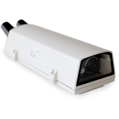
Pix4D is a specialist photogrammetry and mapping software provider that helps survey and construction teams turn images into measurable deliverables. It is built around a simple promise: capture reality quickly, process it reliably, and hand over outputs your project team can actually use.
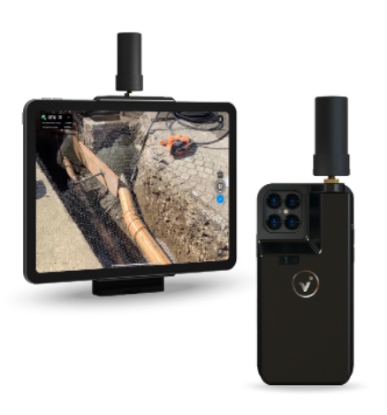
Pix4D aligns with workflows that produce orthomosaics, point clouds, 3D models, and elevation outputs from aerial or terrestrial capture. The platform supports professional controls like RTK and ground control points, plus quality reporting and editing tools that help you defend accuracy when the stakes are high.
Pix4D is a good fit when you need faster site capture, repeatable measurements, and clear evidence for progress or verification without inflating field time. If your bottleneck is turning imagery into trustworthy outputs that colleagues can review, measure, and share, Pix4D is a pragmatic choice that scales from single projects to ongoing operational delivery.