Explore the Power of Precision with Leica Geosystems
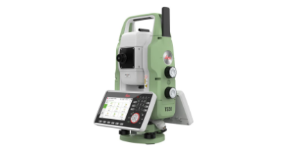
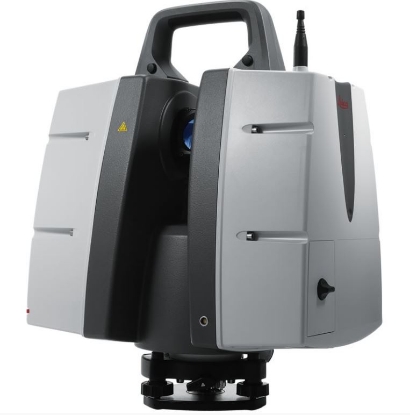
For over 200 years, Leica Geosystems, a proud part of Hexagon, has been transforming how professionals measure and survey the world. Trusted by industries like aerospace, construction, defence, safety, and manufacturing, Leica Geosystems provides cutting-edge solutions that help experts innovate with confidence. From state-of-the-art instruments to advanced software and reliable services, Leica delivers the precision and accuracy needed to shape the future.
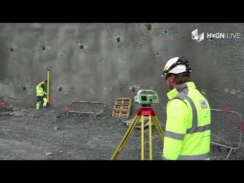
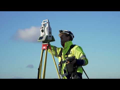
In partnership with Sunbelt Rentals, we bring you unparalleled expertise rooted in years of experience within the surveying industry. Whether you’re a seasoned professional or just starting out, our team is here to provide expert guidance and tailor solutions to fit your needs.
Not sure what you’re looking for? Let us help. Contact us today to arrange a call with one of our dedicated experts. From advice to equipment, we’ve got you covered. Leave the “how” to us.
 call 01832 770883