 4Site Survey £1000.00 Ex. VAT
 Detailed Description
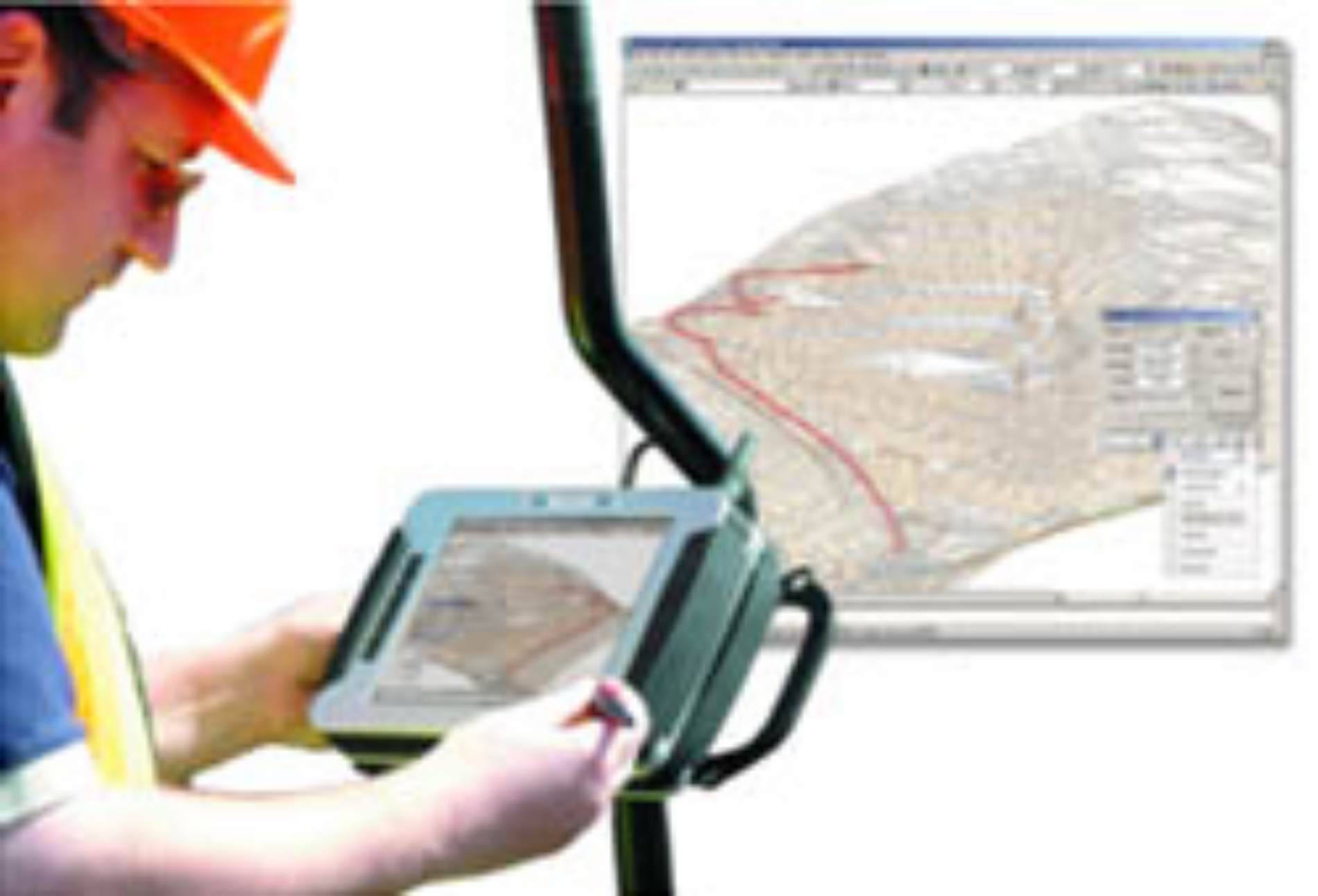
Experience the seamless integration of your surveying equipment with cutting-edge software that transforms field data collection into effortless CAD drawings. The 4Site Survey software suite is designed for professionals in surveying and engineering who demand accuracy and efficiency. With its direct instrument integration, you can connect your total station or GNSS receiver via Bluetooth or cables, allowing you to record measurements in real-time. This functionality means you can create comprehensive surveys right before your eyes, ensuring accuracy and facilitating immediate analysis while on-site.
Streamlining your workflow, 4Site Survey not only simplifies field data collection but also enhances data processing capabilities through its companion component, 4Site Office. This desktop application is tailored for efficiently downloading, processing, and formatting survey data, saving you precious time and allowing you to focus on what truly matters—delivering quality results. With its comprehensive data import/export options, 4Site Survey ensures compatibility with a multitude of file formats, allowing you to easily integrate your data into any CAD software, making it a versatile choice for modern surveyors.
Take advantage of advanced graphical editing tools that empower you to create intricate terrain models and contours with ease. The fully layered code table organizes your survey data efficiently, enhancing project management and allowing you to visualize your findings intuitively. With options ranging from Lite to Professional and Designer versions, 4Site Survey caters to users of all experience levels, ensuring that every surveyor can find the right tools tailored to their specific needs. Whether you require simple data management or specialized applications for geological modeling, mining, or rail surveys, 4Site has you covered.
Additionally, the user-friendly interface is designed with surveyors in mind, providing a straightforward experience that simplifies data access and tool management. The integrated 3D visualization capabilities offer an interactive platform for presenting data in an engaging manner, helping stakeholders understand the implications of your survey findings efficiently. With optional support contracts available for regular updates and dedicated customer assistance, the 4Site Survey suite promises not only to meet your surveying needs but to propel your project success into the future.
Features & Benefits
- Downloading and processing of data from on-board logging whilst 4Site Survey is for in-field use as a data logger.
- Simple editing in spreadsheet-like grids.
- Code Table converts your instrument readings into a CAD drawing.
- Reduction, traverse and resection calculations convert your raw survey data into co-ordinates.
- Import filters are available for external co-ordinate inputs from GPS receivers.
- User-friendly interface enhances productivity and ease of use.
- Supports a variety of file formats for seamless data integration.
- Real-time data visualization aids in immediate decision making.
- Customizable reports streamline the presentation of survey results.
- Robust support and updates ensure the software remains current with industry standards.

